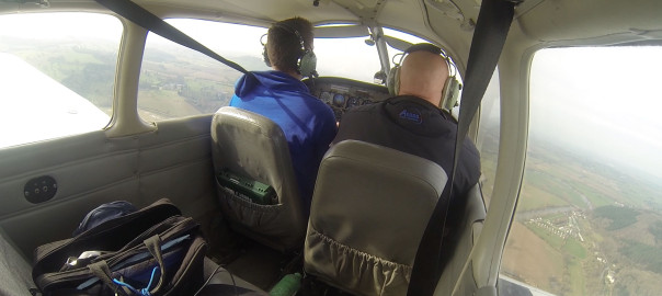
The weather was pretty shocking today (low cloud) so instead of the planned ‘Brize Zone Transit’ lesson, we’d do a low-level navigation training exercise.
Why bother practicing with low level navigation? Surely you’ll be flying at a reasonable height all the time anyway? Well, yes, you would hope. That should be the case. However this lesson is taught because if you find yourself flying and caught below a low-level cloud base (imagine flying towards a hill, the cloud descends below the hill and you can’t divert around..you’ll have to turn back) then it’s good to know what to expect ahead of time. The last thing you want to do is go above the cloud and inadvertently enter IMC conditions.
We’d be covering three things today:
1. Diversions
2. Low level navigation
3. Precautionary Forced Landings
First, diversions. Say you’re flying a heading and for some reason (weather, terrain, airspace) you need to go off your desired track for a bit and rejoin it later. Say there’s a hill at 2000ft and you’re flying at 1900 ft with the cloud at 2000ft. You wouldn’t want to fly straight in to it, would you!? So in this case you’d need to divert around it. The principle is pretty straight forward: turn 45 (or 60) degrees off track, making sure you start a stop watch when you turn. Once you have flown sufficiently far enough to avoid the obstruction, turn back to your original heading so that you’re flying parallel to your original track, and stop the stopwatch. Fly parallel for a while, enough to sufficiently clear the obstruction, then turn 45 (or 60) degrees back towards your original track. Again, start the stop watch. You should be back on your original track once you have been flying for the same amount of time as your original diversion leg. You can then turn back on to your planned heading and update your ETA to reflect the time spent faffing around (I mean diverting). Your revised ETA will be original ETA + time spent flying at 45 or 60 degrees.
Eg. If you’re flying 250, then turn 295 for 2 minutes to fly around a hill, then continue parallel (heading 250) for a further 5 minutes, before flying 205 for 2 minutes, your revised ETA will be original ETA + (2 + 2) minutes.
Obviously 45 degrees is the most efficient angle to turn, but if that’s insufficient, you’d turn 60.
Low level navigation follows the same principles as nav at higher levels, but it sure feels different. At the risk of stating the obvious, you feel a lot lower – those buildings seem much closer and the hills much taller. Terrain also passes below you at a much faster rate – it seems as if you’re flying at twice the speed as when you’re up high, but obviously you aren’t.
It’s easier to see line features and because you’re amongst the hills instead of above them, there’s no height to flatten them out, so the contours of the hills are much more visible. You can’t see as far, and things you’re normally used to seeing easily are suddenly very difficult to find.
Precautionary forced landings are pretty much what they sound like. Your engine hasn’t cut out, you can control the aircraft perfectly well, but for instance the weather may have deteriorated so quickly and so badly that you are unable to safely fly in VMC to any airfield. Short of flying around in circles waiting for the weather to clear (which may end up in your fuel running out) then your priority should be to find somewhere to land safely. Much with the other type of PFL, you first need to select a suitable field/site using the SSSSSSS rules. Then fly a circuit over the designated area, at 1000ft, looking out for any obstacles or reasons why the chosen field is no good. Then, do another circuit at 300ft, giving you a better view. You could even choose to do a final circuit at 100ft before landing.
The lesson went well, although as it turned out, the weather was a lot better by the time we got flying, so we could have done the planned Brize Transit lesson after all. Nevermind, we’ll do that next lesson.
Re. the dogleg diversion. If the wind is 115/20 the timings will be different for the dogleg surely? 20kt tail wind for 2 minutes covers more ground than a beam wind (nil head or tail) for 2 mins?