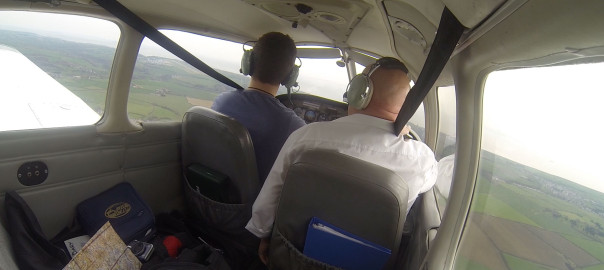
The weather wasn’t looking too great to the East, but to the West was looking good so my instructor told me to plan our route from Gloucester to Cardiff. It’s about as easy as they come to navigate along the direct route, as you hug the line of the Severn River all the way down to Cardiff Docks.
Cardiff airport is in a Class D Control Zone (CTR) and is surrounded by Control Areas (CTAs) at various heights. These are designed to protect the commercial traffic heading in and out of the airport. I had to read up on the visual entry procedures (in the AIP, my AFE guide and also – I found most helpfully – the Cardiff VFR Guide). All VFR clearances within Cardiff’s airspace is not above altitude 1,500 (on Cardiff’s QNH). Approaching from the North East, we could expect to receive clearance via the Published VFR Cardiff Docks route, which means entering the CAS via Cardiff Docks and then doing whatever you’re told to do by Cardiff on the radio.
PLOG complete, with an estimated flight time of 30 minutes to Cardiff, NOTAMs checked, temporary airspace/royal flights/air force checked, we were almost ready to go. My instructor phoned Cardiff and booked us in (although they did say to him that PPR isn’t required, which is the opposite of what’s said in the AFE book!), we booked out with Gloucester and headed to the plane. We needed fuel, so after checking the oil and a quick visual inspection (it had already been A-checked earlier in the day) we were requesting taxy to the pumps.
Fuel filled up, ATIS checked and I requested taxy. It was a busy day at Gloucester, the radio chatter was non-stop and we were holding for around 20 minutes. During this time 3 planes landed and 1 ahead of us took off. Finally it was our turn. I was given a “line up and wait behind the landing” clearance, so I was paying close attention to the landing plane and started to roll to the runaway as it passed us. Lined-up, ready to go.
I had re-aligned the DI to the compass twice already and we hadn’t even taken off. Whilst lined up on the runway I did another check and again noticed it had drifted 5 degrees off. I keep making the mistake of mis-reading the compass. The problem is that the compass direction is opposite to the direction on the DI (and common sense). For example, the DI is a typical compass circle with North at the top, East at the right, South at the bottom and West at the left. The compass however rotates around the Y axis, with East to the left of North and West to the right. On a number of occasions (I can remember at least 5, and I’m starting to wonder whether the ‘getting lost’ during the Brize transit lesson was a result of this too) I have mis-read the compass and consequently set the DI incorrectly. Must triple check this from now on.
Runway 09 was active, so I was expecting to climb out, turn to the left following the circuit direction and then turn to my desired heading of 225 whilst downwind (but above circuit height). However, unusually (at least, it hasn’t happened to me before) I was given clearance to turn out to the right (“Aeros 53, with a turnout to the right, cleared take off runway 09”). Fair enough! So off we went, climbing out and at around 500ft I turned to the right. It felt a bit weird flying against the circuit direction and we were both doing extra lookout just-in-case.
Soon I was heading 225 and doing my first gross error check against the map. So far so good. As I said, it’s pretty hard to get lost on this flight because of the river. I was handed over to Gloucester Approach, who gave us a basic service and asked us to “report at the bends in the river”. On reaching the bends, I reported and asked for a frequency change to Cardiff Approach. Change approved, and we switched to Cardiff.
I had been practicing the expected radio calls in the car on the way to the airport (talking to myself!) in preparation. It’s the usual CARPACER stuff plus as Cardiff have ATIS you need to acknowledge the ATIS letter. They also ask you to report your aircraft type on first contact. So “Cardiff Approach, Aeros 53, PA28 request join” then wait for “Pass your message” … “Aeros 53, PA28, inbound from Gloucester, overhead Chepstow altitude 2500 feet 1010, VFR with information Echo,estimate Cardiff time 55, request join”. When I made the actual radio call, I became distracted by something in the cockpit and only got as far as CARPA and then froze. Not sure why. Instructor took over and finished the call for me, phew.
We were given a squawk, which we set and a basic service. A couple of minutes later, “Aeros 53, cleared to enter via published VFR Cardiff Docks arrival not above 1500 feet QNH 1010”. Readback done, acknowledged as correct and we were flying towards Cardiff Docks.
I started our descent from 2500 to 1300 as we were approaching Cardiff Docks.
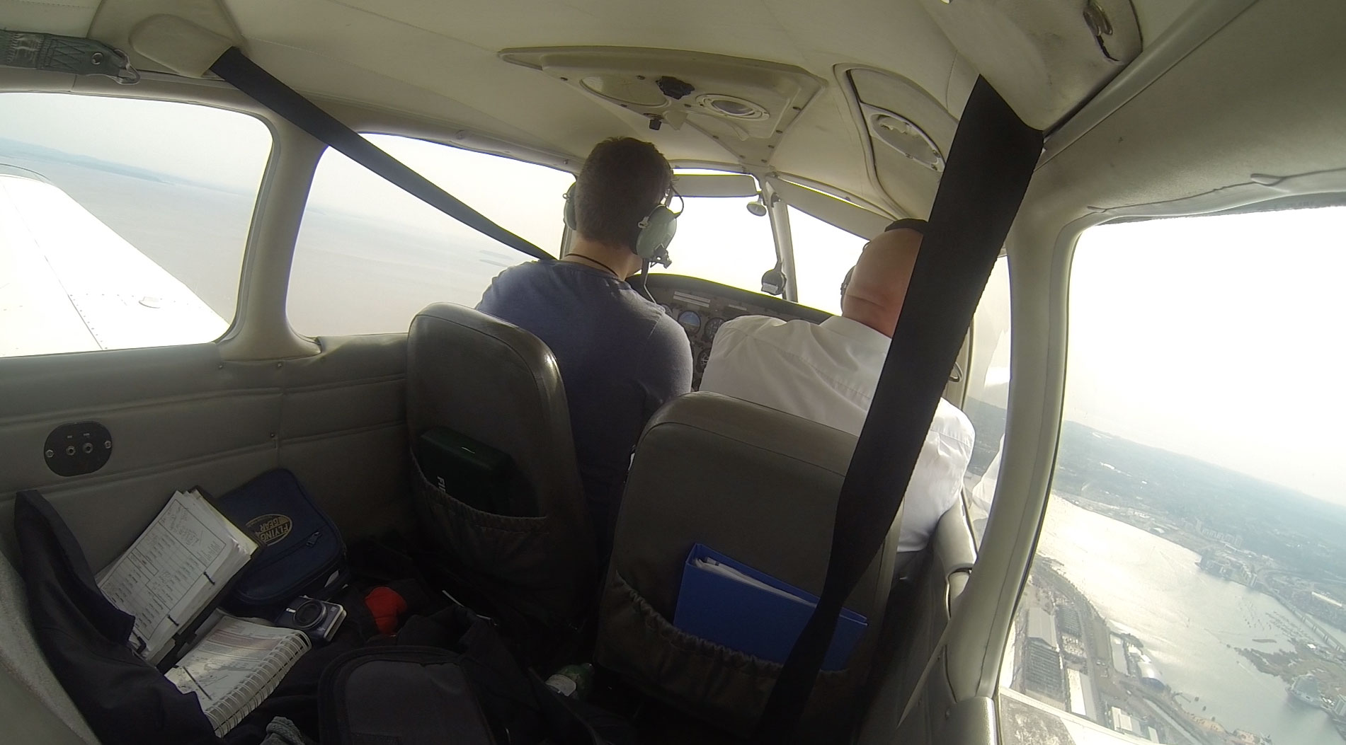 By flying at 1300 we had some headroom incase I accidentally allowed us to climb. Flying over Cardiff Bay and seeing the Millennium Stadium and the marina at Penarth was lovely, such a beautiful view. I could see the Wenvoe TV mast ahead of us to our right. We were then told to join downwind left hand for runway 12. So I turned to the right and towards the airfield.
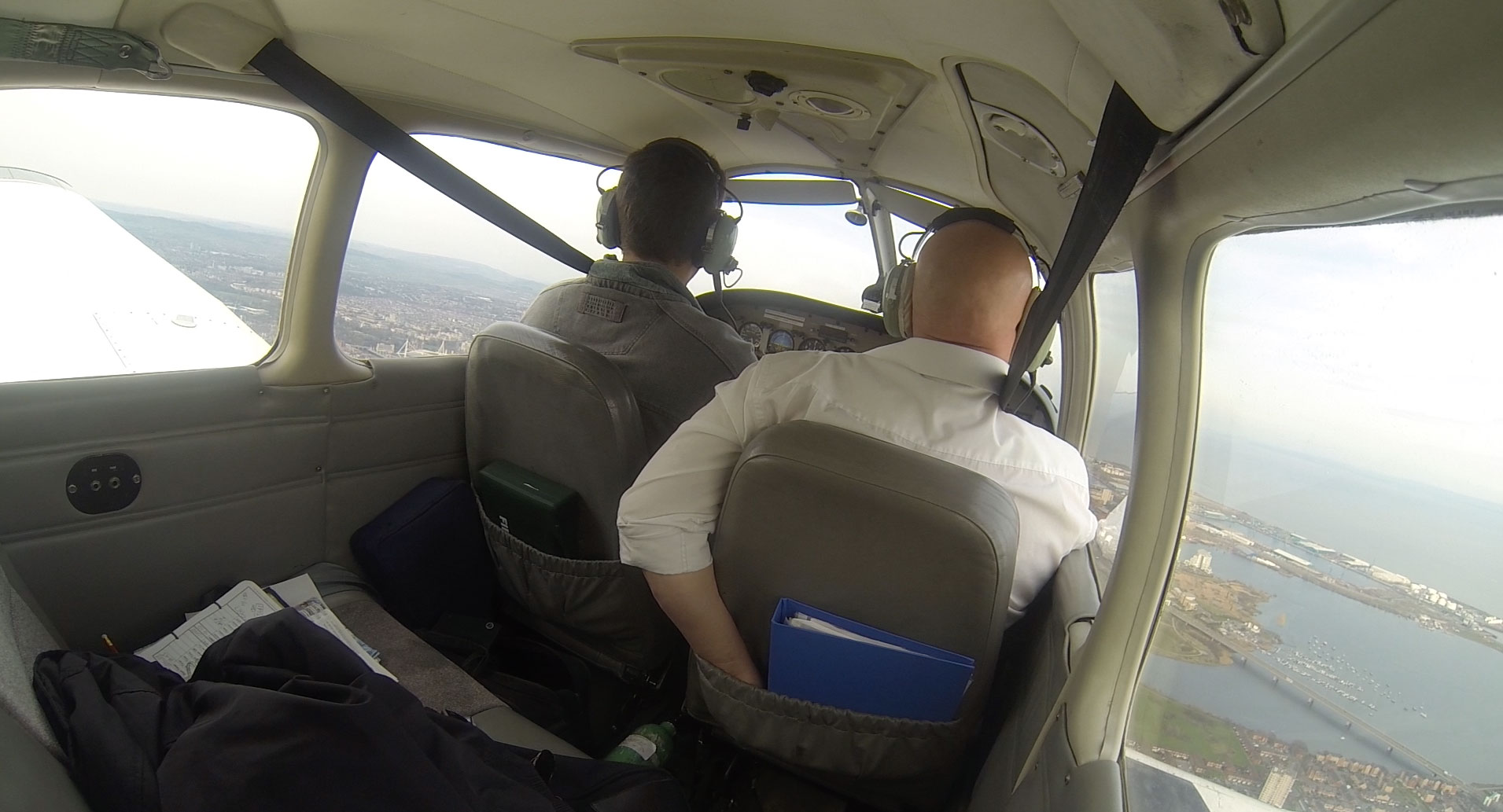
St Athan airpot is 3nm from Cardiff and it’s very easy to confuse the two. My instructor had warned me about this in our pre-flight briefing so I was being extra careful to identify the correct airport. We had the DME tuned to Cardiff, the NDB tuned (so the ADF needle was pointing at Cardiff) and we also had the GPS set up for additional reassurance. I could see an airfield on the left and one on the right, so given our current position it had to be Cardiff on the left. Pre-landing checks complete, and turn on to left base.
Approach was fairly non-eventful. This is the largest runway I have landed on so far and it felt a little weird to be able to stop in such a short amount of the available tarmac. We taxyed to the south side apron and parked up, went in to visit Aeros Cardiff and then popped upstairs to the Cambrian Bar for some lunch and a coke.
Here’s a clip of the approach from Cardiff Docks:
After lunch, it was time to study the Published VFR Departure routes. I could expect the VFR Wenvoe departure, which is basically keeping to the East of the TV mast and exiting via Cardiff Docks. So essentially the opposite of our arrival.
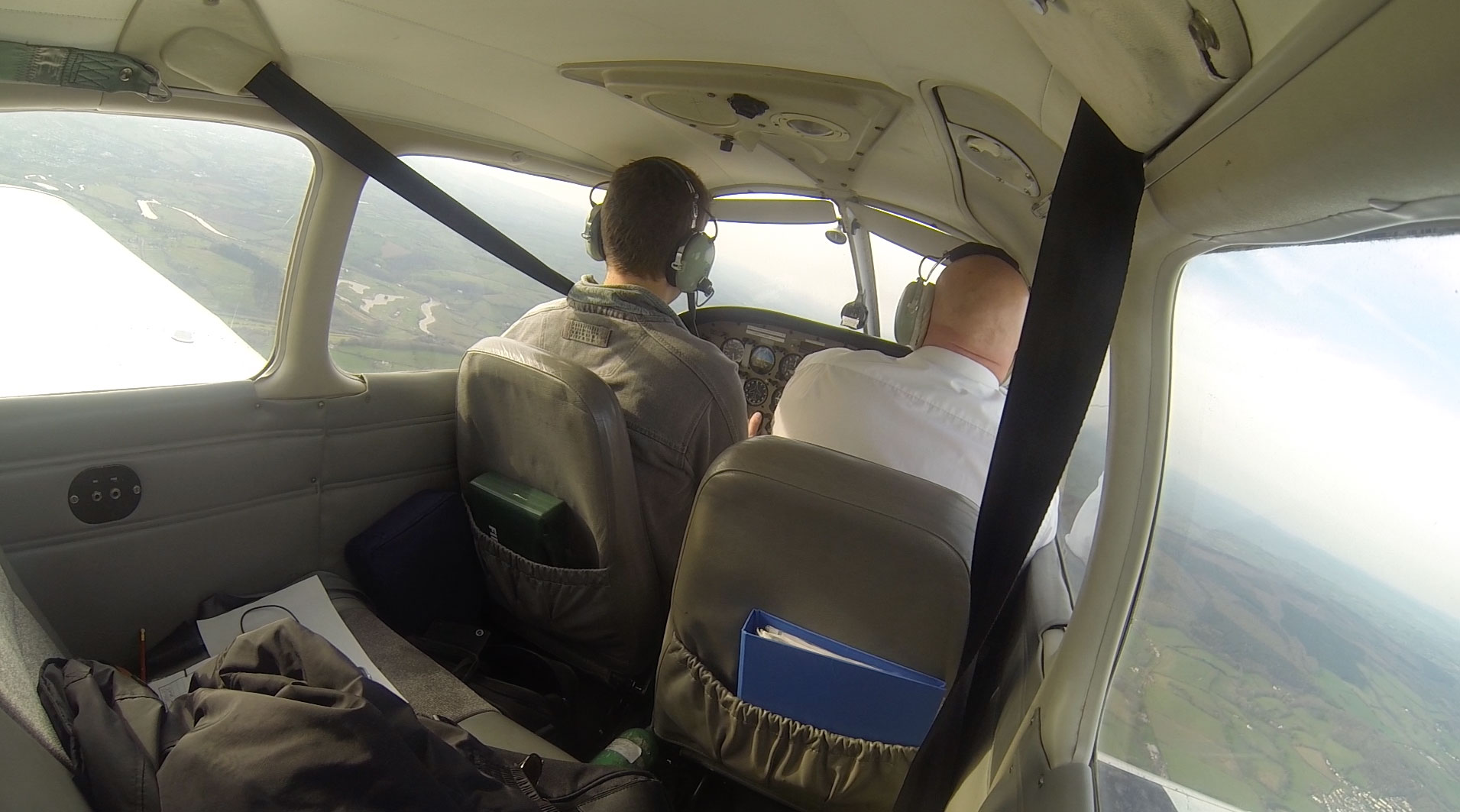
We weren’t sure whether we needed to ask for permission to start the engine, so we requested it and was told it was at our discretion. Better to be safe than sorry. We were then told to taxi to holding point Golf. Power checks complete, we reported ready for departure. Cleared for take-off via the published VFR Wenvoe departure route not above altitude 1,500 feet. Again, it felt strange being airborne and seeing so much runway still below and infront of us. We could probably have done a couple of touch and goes with the runaway ahead!
Shortly after I turned to Cardiff Docks, we were asked to “Reset Squawk 3641”. We did and told them it had been done. They then asked us to try it again, as they were seeing us as 2641. Transponder cycled, set to 3641. Cardiff were still seeing us as 2641, very weird. Finally they asked us to switch the transponder off all together (“disable mode alpha”) which on hindsight sounds like a complicated way of “disable transponder” but hey, we obliged and they were happy. One to log in the techlog when we get back.
After clearing Cardiff Docks and exiting controlled airspace, I advised them we would be climbing to 2,500 feet out of courtesy. Here’s a pic of the Millennium Stadium to our left and Cardiff Bay on the right:
Soon we were by the M4 J24 VRP with the Celtic Manor hotel and its 3 golf courses shining in the sun:
Living in Usk, this is all local territory for me and it felt great to be able to see such wonderful view. So that I could fly over Usk (and practice diversions!) I planned a diversion up the Usk valley. Heading changed, we requested frequency change to Gloucester and said goodbye to Cardiff. Driving from J24 to Usk takes around 12 – 15 minutes, but in the plane you can see Usk from J24 and you’re overhead it within 2 or 3 minutes. My instructor took some photos for me, and then marked another point on the map and asked me to divert to it. I drew a line, estimated the angle to be 45 degrees and measured the distance as 18nm. The wind was coming from our right, so a quick drift calc gave me a heading of 055. Estimating time took a bit more thought. At 100 knots, we fly 10 miles every 6 minutes (at any speed, simply divide by 10 to get miles per 6 minutes). Half it go get 5 miles every 3 minutes. So with an allowance for wind, I estimated between 9 and 10 minutes.
First thing I learnt here was it’s pretty tricky trying to fly and draw lines on a map. I need to practice this so that I can confidently do it one handed. I could also use my feet to keep the wings level. Stopwatch started and it was time for some gross error checking. So far so good.
At the half way point, we were on track and on time. Incredible! At 8 minutes I could see the destination ahead of us (a curve in the river – an oxbow) and sure enough at 9 minutes 20 seconds we were overhead. My instructor asked me to find the old railway bridge from the disused railway. There it was! I was in shock at how things had worked out so well. Luck or skill? Probably luck 🙂
After admiring the scenery, my instructor started fiddling with the throttle and – oh no – engine failure (practice!). I trimmed for 73 knots and turned downwind. We were at 1,900 but the terrain was around 500 feet so we didn’t have much height to work with. I picked a field and practiced my mayday call and what’s up checks. I then turned but got disorientated in the turn and ended up flying in the wrong direction and towards a different field. Oops. Need more practice.
Finally we headed back towards Gloucester and asked for a straight in approach. We used the OBS mode on the GPS to visualise the approach line for runway 09 and I intercepted it at around 8 miles out. Gloucester was still busy (we were number 3) but they managed to approve our straight in approach, and we were shortly back on the ground.
I really enjoyed today’s lesson. We covered a lot of stuff and things really seem to be clicking in to place now. Next lesson will be some more dual nav, in preparation for some solo nav and ultimately my qualifying cross country.
Here’s the GPS tracks for our flight Cardiff -> Gloucester via Usk and the diversion:
