Another spot of geeking-out. After seeing a couple student pilot blogs with embedded maps of their flights (like this one), I wanted-in on the action. After some searching around, these maps have been created by SpiderTracks – a piece of hardware that provides live flight tracking facilities. At over £1000, I wasn’t exactly ready to hand over my cash, so I’ve been looking at cheaper solutions.
After lots of searching and thinking, I decided to try using my iPhone (with built-in GPS) and an app called MotionX-GPS, a £1.99 iPhone app with track recording features. I already had the app and had been using it for recording my hiking and walking in the hills, so I was familiar with how it worked and the accuracy had always been good, even when walking through dense forests without a clear line of sight to the GPS gods in the sky.
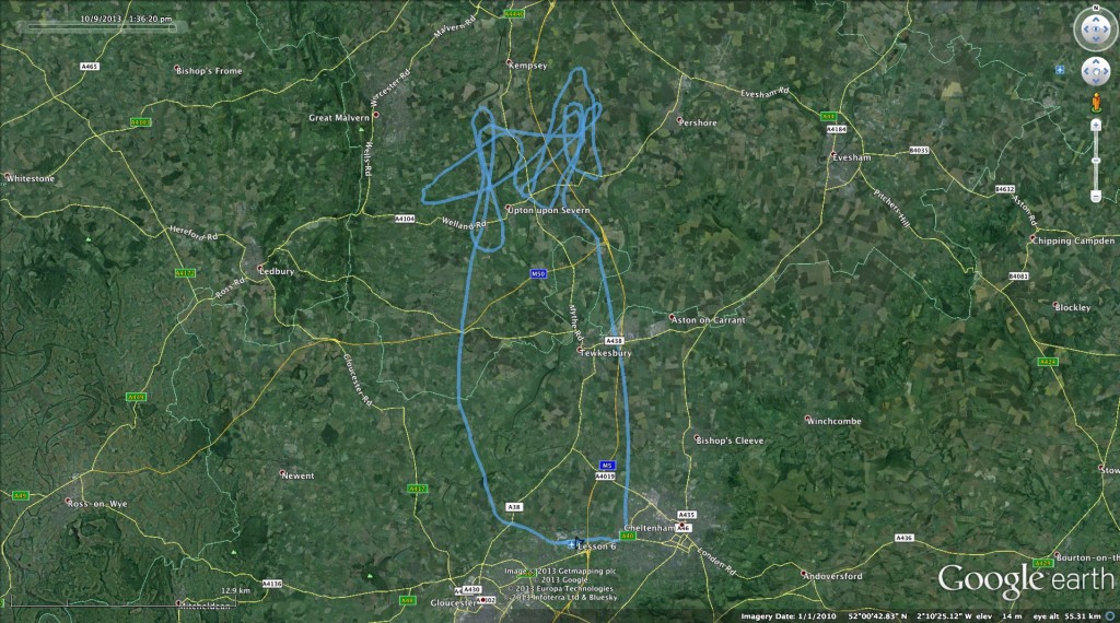
So, last lesson (lesson 6) I opened up MotionX-GPS and started recording my track as I got in to the plane. Lesson over, I pressed the stop button and saved my track to a GPX file. When I got home, I was able to import the GPX file in to Google Earth, which gives a pretty swanky visualisation of my route:

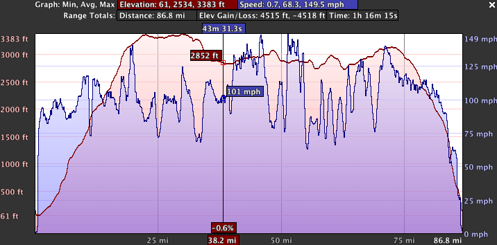
Google Earth even has a fancy ‘Play Tour’ option, which uses the timing data from the GPS file to recreate and play-back the entire flight in real-time (or speeded-up) using the usual 3D Google Earth style view. Finally, it also has a ‘Show Elevation & Speed Profile’ option, which generates this pretty cool interactive graph:
I’ve always been a data fan (my inner geek calling!) but I think this will be particularly useful during later lessons when practicing the circuit, and then reviewing my cross-country routes…


